
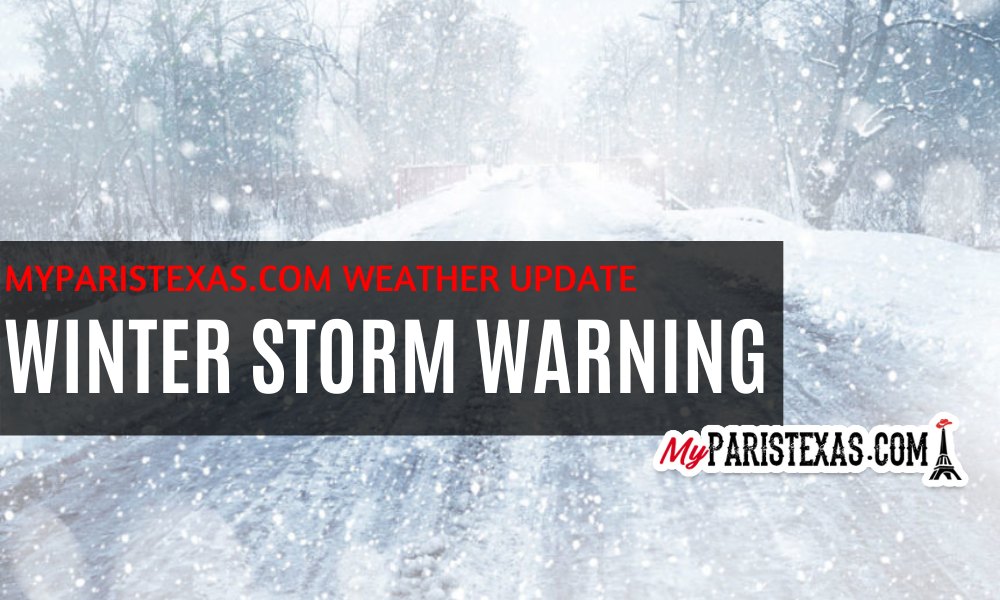
The National Weather Service in Ft Worth has issued a WINTER STORM WARNING in effect from 6 a.m. Saturday to 6 p.m. Monday.
Heavy mixed precipitation is expected. Total snow accumulations of 3 to 6 inches and ice accumulations of a light glaze. Strong winds will lead to blowing and drifting snow, reducing visibility to less than one mile at times. Wind chill factors below zero are forecast on Sunday, continuing into Monday and Tuesday.
Impacts will begin as early as Saturday morning with patchy freezing drizzle developing late tonight into Saturday morning, which will lead to a light glaze of ice in some locations. After a brief break in precipitation on Saturday, conditions will begin to deteriorate late Saturday evening, with precipitation transitioning from a sleet and freezing rain mix to all snow by Sunday. The heaviest snow can be expected on Sunday and Monday. High winds will lead to blowing and drifting snow with wind chills falling to below zero by late Sunday. Snow will come to an end during the day Monday, but extremely cold temperatures will persist through mid-week. The heavy snow and forecast long duration of extremely cold temperatures will likely lead to major stress on the region`s infrastructure as well as crippling travel for several days.
Travel is highly discouraged on Sunday and Monday. If you must travel, keep tools necessary for survival in extreme cold in your vehicle.
#weather sponsored by American Towing and Recovery
–
Like and follow MyParisTexas.com on Facebook.